| Pedestal Rocks / Kings Bluff, Buffalo River (February, 2002) |
|
 |
 |
 |
 |
|
Here
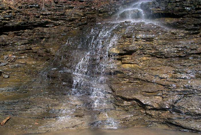
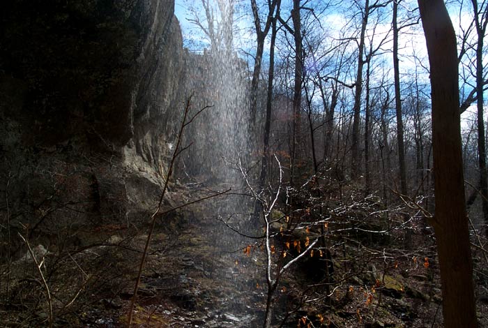
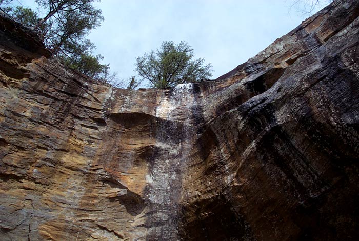
are a few extras. Click them to see a larger image. Like I said, the water was flowing, but definitely not what it could have been. I grabbed a small shot off of Tim Ernst's website to show what a good flow looks like. He has been putting together a waterfall guidebook. Buy a copy here! Click here for Tim's photo. The closest flow gauge for this area was from near Witts Springs on upper Richland Creek. (Click here to see the current gage.) The water flow was 2.3 feet above the datum when we were there. It had been over a week since the last rainfall and the Ponca low-water bridge was at 25" of airspace. |
|||||
|