|
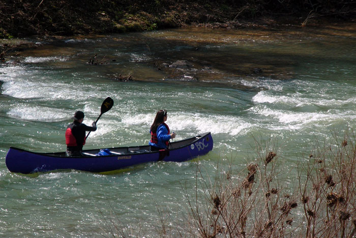
This is what the river was like that day.
Of course, being an Ozarks stream it was rapids and a bend or two
followed by a slow deep pool and then it repeats. Pictured
here is the river going around Horseshoe Bend right before the
Hemmed-In stop. The USGS gage
at Boxley read 3.8 feet and the NPS gage at the Ponca bridge read
3.1 feet, while the BOC reported the Ponca low water bridge at 10
inches of air space. For reference, I saved the
graphs and data from
the day.
The BOC also caught some great photos
of flood waters as they came up. Read their text in the link
above and then check out the photos. |