|
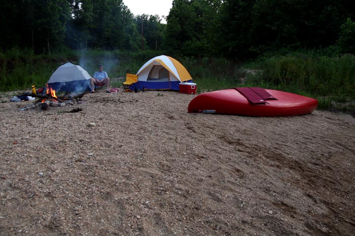
After we left Pulltite it was getting to
be 6 o'clock in the evening so we started looking for a good
campsite for the night. In the
upper stretches of the river, gravel bars aren't as plentiful due to
the faster, smaller stream. And, of those gravel bars, very few
are flat, open and have any sandy (soft) spots.
But, nevertheless, we found this one at
about river mile 78 (NPS), 29 (MDC). It was more or less the
mouth of a dry stream bed. (High ground was nearby in the
event of a heavy rain.) Again, I looked it up on Google Earth
to find these coordinates: 37º 19' 14.76" N,
91º 28' 59.45" W. The only downside to the site was an
overhead power line crossed the river here too. |